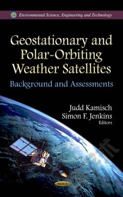
Geostationary and Polar-Orbiting Weather Satellites: Background and Assessments
This book provides an overview of The Joint Polar Satellite System (JPSS) and the Geostationary Operational Environmental Satellite-R(GOES-R) programs, which are meant to replace current operational satellites. Both are considered critical to the United States' ability to maintain the continuity of data required for weather forecasting. Since the 1960s, the United States has used both polar-orbiting and geostationary satellites to observe the earth and its land, oceans, atmosphere, and space environments. Polar-orbiting satellites constantly circle the earth in an almost north-south orbit, providing global coverage of conditions that affect the weather and climate. As the earth rotates beneath it, each polar-orbiting satellite views the entire earth's surface twice a day. In contrast, geostationary satellites maintain a fixed position relative to the earth from a high orbit of about 22,300 miles in space. Both types of satellites provide a valuable perspective of the environment and allow observations in areas that may be otherwise unreachable.
{{comment.content}}


 京公网安备 11010802027623号