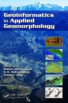
Geomorphology: Processes, Taxonomy and Applications
Geomorphology is the scientific study of landforms and the processes that shape them. Geomorphology is practiced within geology, engineering geology, geodesy, geography, archaeology, and geotechnical engineering. Practical applications of geomorphology include measuring the effects of climate change, hazard assessments including landslide prediction and mitigation, river control and restoration, coastal protection, and assessing the presence of water on Mars. In addition, understanding and recognition how rivers behave is crucial in the assessment of ecological conditions of streams and important for river restoration purposes. In this book, the geomorphological structure of river channel of small streams in terms of River Morphology Hierarchical Classification (RHMC) is analyzed. The authors also develop a workflow that aims to facilitate a sustainable land-use decision making that has the concept of a spatial decision support system as its centre. State of the art 3D modelling technologies are applied and information retrieved from these models into a GIS are integrated. It is argued that if a planned land-use involves a strong interaction with the geosphere, geoscientific criteria need to be addressed in the most accurate and transparent manner. Moreover, the most effective erosion control in physical and economical terms is prevention, because once erosion processes accelerate, corrective action is not only expensive, but often also insufficient. The WEPP predictive erosion model is examined in this book, which has been validated for check dam watersheds in Mediterranean ephemeral gullies, in particular for two catchments with semiarid environments representative of the South-East of Spain. The Lisa Matthews Memorial Bay contains a population of the federally endangered Canby’s Dropwort (Oxypolis canbyi). A study of the soils, hydrology, and geomorphology of the Lisa Matthews Memorial Bay is also included in this book to aid in the management of the Canby’s Dropwort habitat in the bay and to assist in the restoration of the uplands to longleaf pine (Pinus palustris). Twelve pedons were described and sampled for determination of soil texture, pH, carbon, nitrogen, phosphorus, calcium, magnesium, manganese, and iron.
{{comment.content}}


 京公网安备 11010802027623号