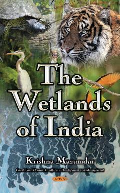
The Wetlands of India
Wetlands are the vital link between land and water. They support unique flora and fauna as well as provide ecological services that are beneficial to society Wetlands are among the most important and productive ecosystems on Earth. India is blessed with water resources and has a rich diversity of inland and coastal wetlands. Wetlands in India are distributed from the cold arid Trans-Himalayan zone to the wet Teri region of the Himalayan foothills, to the Gangetic plains extended to the flood-plains of Brahmaputra, and to the swamps of Northeastern India including the saline expanses of Gujarat and Rajasthan. This study is about three major natural wetlands of Eastern India: Sundarbans, Chilika and Kolleru. The Sundarbans is the largest mangrove forest in the world. It covers an area of about 1 m. ha. Sixty percent of this wetland is located in Bangladesh and the rest of the forty percent is in India. The Indian part of the Sundarbans is situated in the western part of the Ganges–Brahmaputra delta, and is extended from the Hooghly River in the west to the Raimangal River in the southeastern portion of the West Bengal State, spreading over two districts: North 24 Parganas and South 24 Parganas. The Chilika is the world’s second largest brackish water lagoon, and it is situated along the east coast of India in the state of Orissa on the Bay of Bengal with an area of 116,500 ha. The Chilika is extended over eight blocks of three districts; these districts are known as Ganjam, Khurda and Puri. This pear-shaped lake is about 64.5 km. long; its width varies from 18 km. to 5 km. The water spread area of the lake varies from 906 sq. km. to 1165 sq. km. depending upon the seasons. The Kolleru Lake is extended over the Krishna and West Godavari districts along the east coast of India in the state of Andra Pradesh. Kolleru is a large natural freshwater lake, with the catchment area being 4763 sq. km. Although the lake is about 35 km. inland from the present coast, it used to be a coastal lagoon in the past. Kolleru still maintains its connection with the Bay of Bengal through a 60 km long tidal channel called Upputeru. The average depth of the lake varies from 0.5 m. to 2.0m.This study offers a new sampling design; blocks in and around the specific wetland were stratified into three clusters, according to their distance from the specified wetland. Samples were chosen mostly from the blocks closest to the wetland, with minimal samples chosen from the blocks most distant from the wetland. Four different schedules were canvassed to four different groups of people: householders, entrepreneurs, tourists, and experts on wetlands. A new approach has been introduced for valuing the wetlands. This approach attempts to combine valuation of a wetland to the aforementioned groups of people. It also attempts to incorporate the valuation of the wetlands when used for other purposes.
{{comment.content}}


 京公网安备 11010802027623号