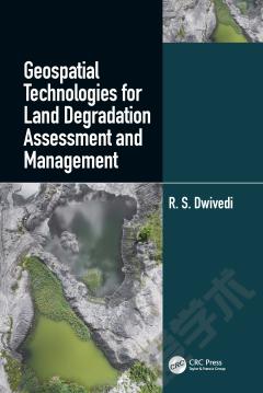
Geospatial Technologies for Land Degradation Assessment and Management
The constant growth of the world population and the decline of the availability of land and soil resources are global concerns for food security. Other concerns are the decrease in productivity and delivery of essential ecosystems services because of the decline of soil quality and health by a range of degradation processes. Key soil properties like soil bulk density, organic carbon concentration, plant available water capacity, infiltration rate, air porosity at field moisture capacity, and nutrient reserves, are crucial properties for soil functionality which refers to the capacity of soil to perform numerous functions. These functions are difficult to measure directly and are estimated through indices of soil quality and soil health. Soil degradation, its extent and severity, can also be estimated by assessing indices of soil quality and health. "Geospatial Technology for Land Degradation Assessment and Management" uses satellite imagery and remote sensing technologies to measure landscape parameters and terrain attributes. Remote sensing and geospatial technologies are important tools in assessing the extent and the severity of land and soil degradation, their temporal changes, and geospatial distribution in a timely and cost-effective manner. The knowledge presented in the book by Dr. R.S. Dwivedi shows how remote sensing data can be utilized for inventorying, assessing, and monitoring affected ecosystems and how this information can be integrated in the models of different local settings. Through many land degradations studies, land managers, researchers, and policymakers will find practical applications of geospatial technologies and future challenges. The information presented is also relevant to advancing the Sustainable Development Goals of the United Nations towards global food security.
{{comment.content}}


 京公网安备 11010802027623号