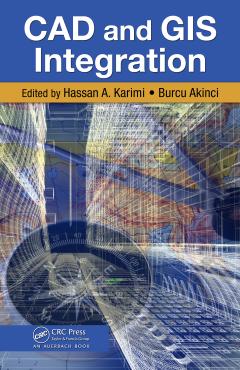
CAD and GIS Integration
When used together effectively, computer-aided design (CAD) and geospatial information systems (GIS) have a solid track record for streamlining decision making and reducing inefficiencies in the design, planning, and execution of critical operations and projects. And a growing number of engineering tasks in numerous fieldsincluding design, architecture, construction, and asset managementnow require the knowledge of many interrelated yet disconnected CAD/GIS tools and task-specific software. A multidisciplinary resource delineating existing and emerging solutions for CAD/GIS integration issues, CAD and GIS Integration provides a clear understanding of the state of the art in this area of growing importance. It brings together in-depth descriptions of existing and emerging techniques, methodologies, and technologies to examine approaches that enable data and operations interoperability between CAD/GIS. Starting with a review of fundamental concepts and theories, the book: Addresses contemporary issues and challenges Provides a collection of helpful methodologies, techniques, and technologies for integrating CAD and GIS Presents balanced coverage of CAD and GIS technologies and applications Highlights emerging trends in CAD/GIS integration Explores the state-of-the-art in the application of CAD and GIS technologies, data, and operations for decision making From early developments to current trends and future directions, this concise resource allows you to get up to speed quickly on what it takes to get the most of these two dynamic technologies. Numerous example applications of effective CAD/GIS integration provide the understanding needed to improve designs, make better decisions, and reduce or even eliminate costly errors in your next project.
{{comment.content}}


 京公网安备 11010802027623号