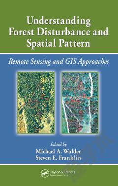
Understanding Forest Disturbance and Spatial Pattern —— Remote Sensing and GIS Approaches
----- 了解森林扰动和空间格局
知识图谱网络
Remote sensing and GIS are increasingly used as tools for monitoring and managing forests. Remotely sensed and GIS data are now the data sources of choice for capturing, documenting, and understanding forest disturbance and landscape pattern. Sitting astride the fields of ecology, forestry, and remote sensing/GIS, Understanding Forest Disturbanc
{{comment.content}}



 京公网安备 11010802027623号