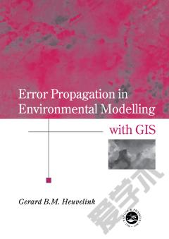
Error Propagation in Environmental Modelling with GIS
知识图谱网络
Definition and identification of an error model for quantitative spatial attributes identification of the error model - a case study error propagation with local GIS operations - theory error propagation with local GIS operations - applications error propagation with global GIS operations - the use of multidimensional simulation implementation of error propagation techniques in GIS.
{{comment.content}}


 京公网安备 11010802027623号